Multi-Year Pavement Maintenance Plan for a Large Office Campus
Multi-Phase Pavement Maintenance Plan
Large Office Campus
Three‑Story Corporate Campus
Location
Broomfield, CO
Summary
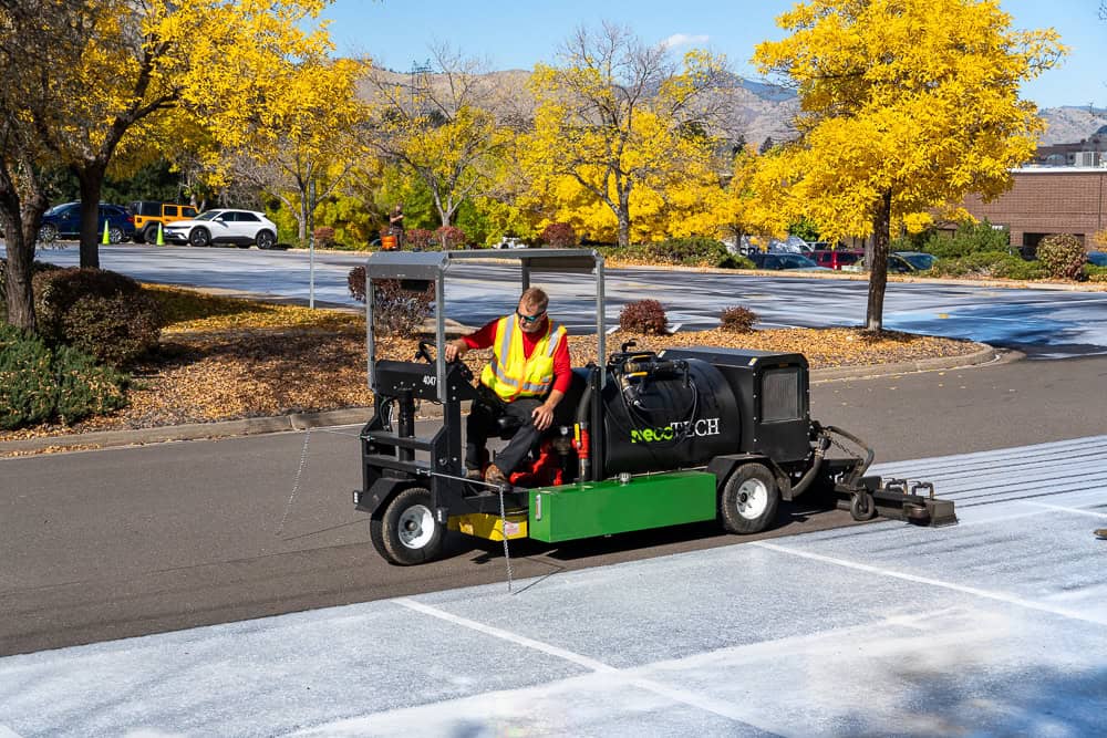
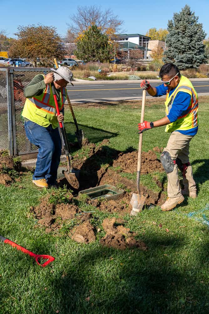
DCPS performed comprehensive lot maintenance across a large corporate campus, including asphalt patching, concrete curb and gutter repair, and crack sealing. DCPS leveraged the latest technology to develop a proactive, phased approach to pavement management.
Challenge
The property required a structured, multi-year strategy to address deferred maintenance across an extensive and aging pavement network. Ownership needed a clear roadmap that identified priorities, controlled costs, and provided predictable annual budgeting without compromising long-term asset health.
Solution
By applying advanced pavement technology—including AI-supported assessments and drone-based imaging—DCPS collaborated closely with ownership to identify deficiencies, prioritize repairs, and phase work over multiple years. This approach aligned project scopes with annual budget goals while reinforcing asset longevity and minimizing future capital risk.
DCPS began by capturing detailed aerial imagery of the campus using drone technology to produce a high-accuracy digital twin of the entire pavement system. This digital model was imported into an AI-driven pavement evaluation platform that automatically detected areas of distress and displayed them through a color-coded condition heat map.
Using these insights, our team worked directly with the client to select the appropriate repair types, designate repair years, and sequence each phase of work. This collaborative planning process resulted in a clear, data-driven five-year maintenance plan that provided complete transparency on scope, schedules, and expectations – ensuring the property could maintain safe, functional, and well-managed pavement surfaces for years to come.